Where is Kelly County in GTA 6?
Kelly County is a county in Leonida. Seen in Trailer 1. Rockstar Games' official map of Leonida prints Kelly County in grid square F4. Measured on the map, its label is southwest of the Howe Dairy label, and the nearest other county label is South Kelly County, to the south.
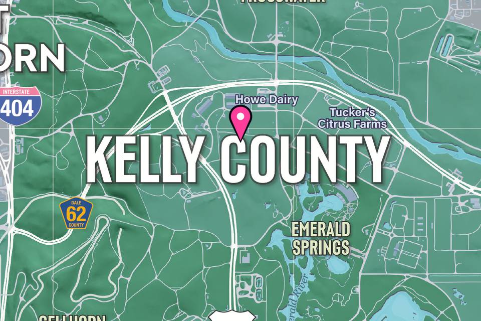
- Grid square
- F4
- Nearest other county label
- South Kelly County, to the south
- Map published
- November 19, 2026
Grid squares are the letters (rows) and numbers (columns) printed around the edge of Rockstar's map. The map prints county names but no county borders, so this page gives the nearest county label, not a county.
On the interactive map you can mark Kelly County found. Free: 10 places marked found and 3 markers of your own. PRO ($4.99 once) makes both unlimited.
- Type
- County
- Shown
- in Trailer 1
- Region
- Kelly County
Some facts on this page come from the GTA Wiki (gta.fandom.com), available under CC BY-SA. Source: GTA Wiki: Kelly County, revision 2089976.
Nearest printed places
Measured between the labels on Rockstar's map, where north is up
More county labels on the map
Nearest first
Nearby in the same region
More of the GTA 6 database
Sources
- GTA Wiki: Kelly County: gta.fandom.com/wiki/Kelly_County (read November 20, 2026)
GTA Wiki facts read 2026-11-20 (each page's revision is listed). Some facts on this page come from the GTA Wiki (gta.fandom.com), available under CC BY-SA. Our own wording; licence: https://www.fandom.com/licensing. Leonida Map is unofficial: every fact and quote on this page comes from the pages above. Spot a mistake? Tell us.